


Étape du Tour 2026: the route in photos (chronological)
Read this page like a real recon ride. Not as a theoretical course profile, but as a series of visual cues, key moments and sensations you’ll meet on the day: the slope that suddenly kicks up, the “false flat” that breaks your rhythm, the altitude that steals your breath, and—on the other side—the descent where you have to dare to let the bike run. The goal is simple: arrive on Étape du Tour day having already “seen” the race, to manage your effort, gearing, fueling… and your head.
1) Col de la Croix de Fer: the first big block
Croix de Fer is where Étape du Tour truly starts. It’s the first moment the race settles in for the long haul—when you leave the valley for good and enter real mountain terrain. Nothing is decided here, but plenty can go wrong if you pick the wrong tempo.
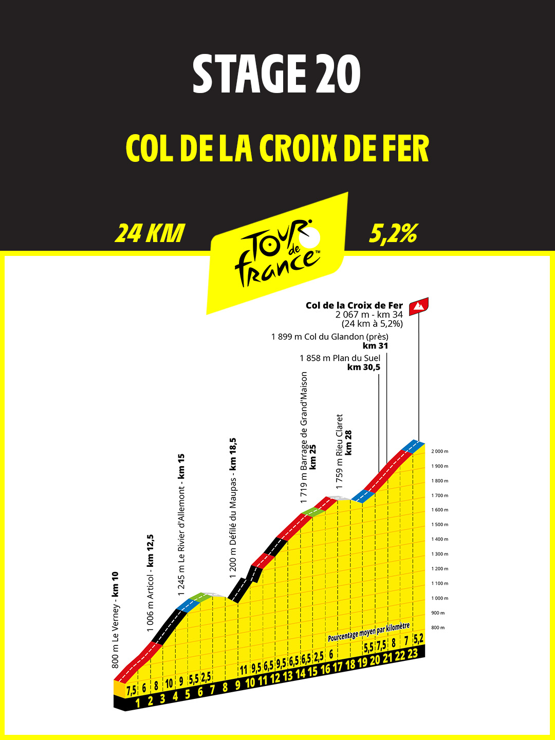
The climb begins from Allemont almost quietly. You’re still in deceptive terrain, with gentle “false flats” that make you think it’s all easy. The ascent really takes shape at Rochetaillée, around 710 m, and the slope becomes more serious near 800 m. From there, you climb continuously up to 1272 m. A short downhill gives back roughly 100 m… but don’t be fooled: the climb is only getting started.
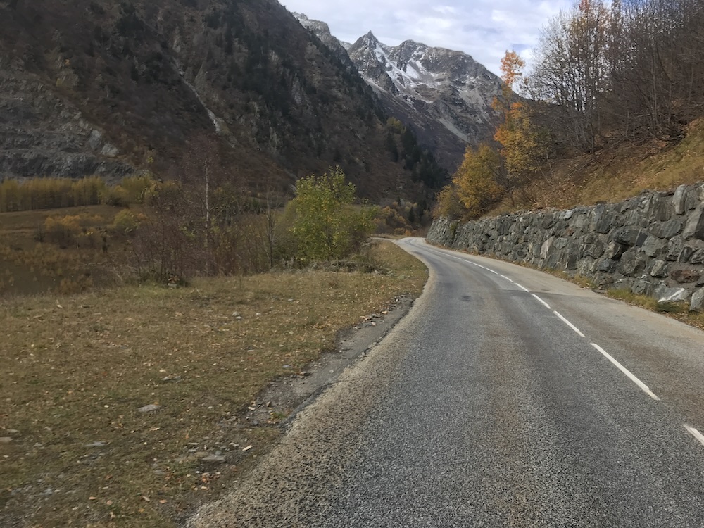
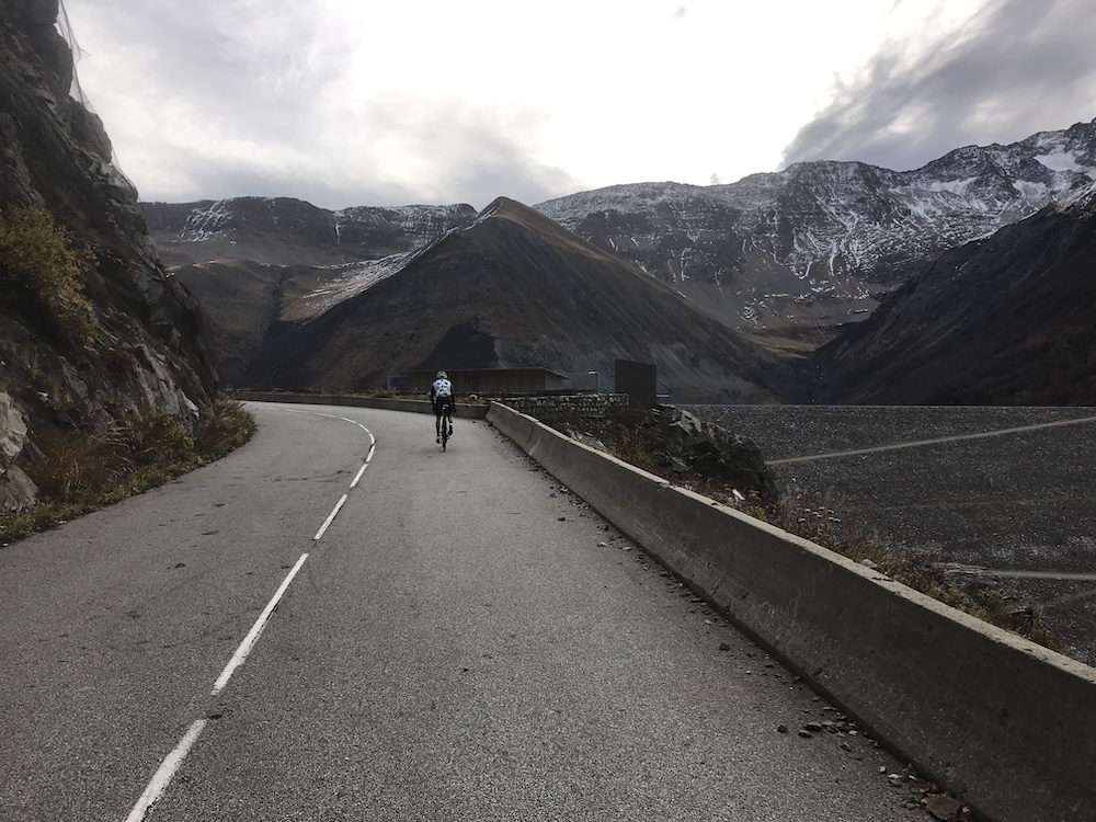
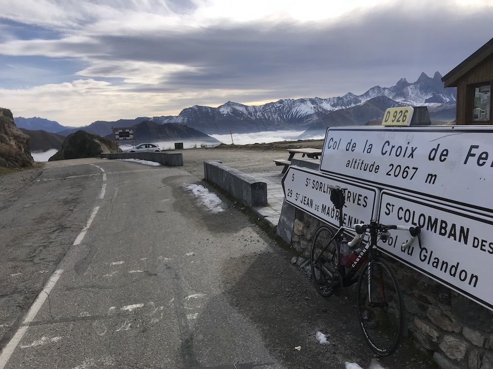
After the steep section, the gradient eases slightly and you settle into a more consistent tempo. The scenery opens up towards Lac de Grand’Maison, and the dam at 1773 m marks a real change of rhythm: you drop about 40 m before the junction. It’s a good reminder that this climb isn’t linear—it’s made of little relaunches.
The last part is more direct. About 330 m of climbing to reach 2067 m. The landscape turns fully alpine, and you already feel the key theme of this EDT: managing your effort matters as much as your fitness.
Croix de Fer elevation recap
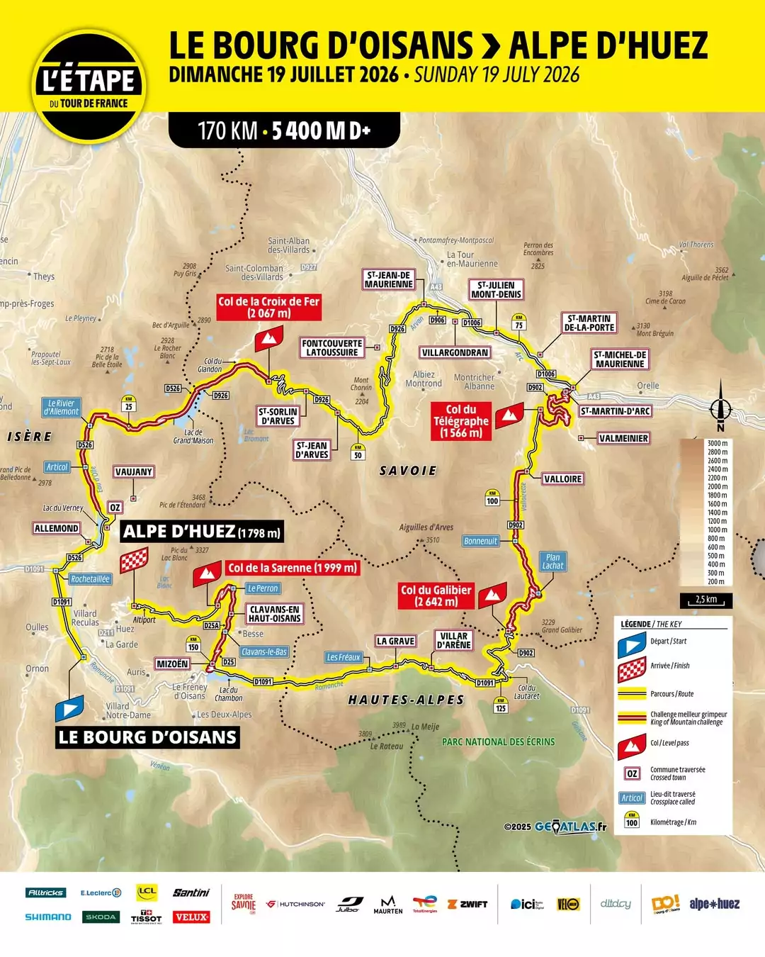
A useful way to build pacing references is to think in “steps” (great for time checks). Three main sections stand out: 710 → 1272 m, then 1174 → 1773 m, then 1734 → 2065 m. That’s roughly 562 m, 599 m and 331 m of climbing, for a total close to 1492 m.
Croix de Fer descent
The descent in switchbacks takes you down towards Saint-Sorlin. Then it’s not entirely “free speed”: there are flatter sections that break the flow, especially around the 50th km. Near 1228 m, you’ll even have to climb roughly 62 m: the classic sting in the tail. After that, the drop into Saint-Jean-de-Maurienne is fast.
In Saint-Jean-de-Maurienne, try to latch onto a group. Even with a frequently favorable wind, these kilometers can be surprisingly draining on a big road of gentle false flats that takes you from 545 m to 720 m up to Saint-Michel-de-Maurienne.
2) Télégraphe + Galibier: the real combo
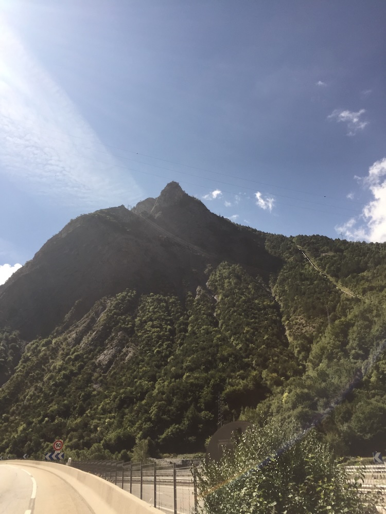
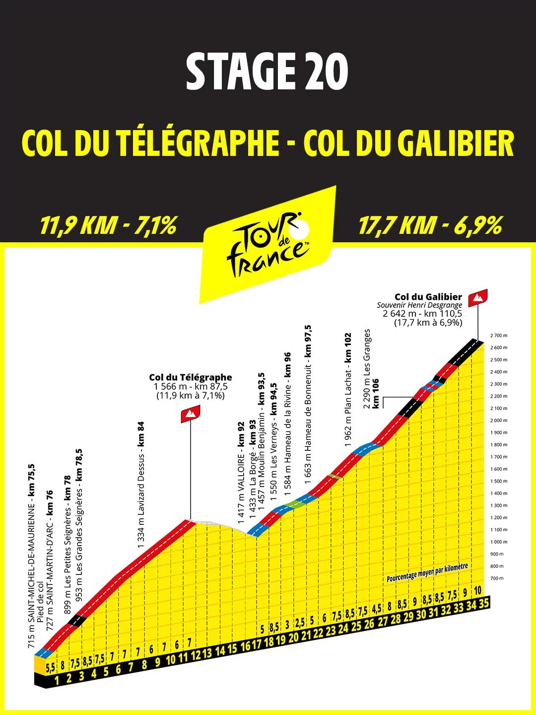
What hurts is the simple feeling: seeing “Galibier 40 km” while you’re already grinding at 8% on Télégraphe. Yes, there’s a descent down to Valloire after Télégraphe… but the sequence is so long and demanding that, in your head, you’re preparing for a 40 km climb.
On Télégraphe, find your rhythm. The gradient is steady, rarely extreme, but the bulk of the peloton will spend 1 h to 1 h 20 here. Télégraphe gives you 846 m of climbing: not huge on paper, but more than enough to start draining the tank before the judge and jury: Galibier and its 2642 m.
3) Galibier: altitude, length… and the real selection
In Valloire (1403 m), there are no more illusions. You’re about to climb 1239 m in one continuous effort, with virtually no real respite. Altitude changes everything: speed drops, breathing changes, and cadence must stay “livable”.
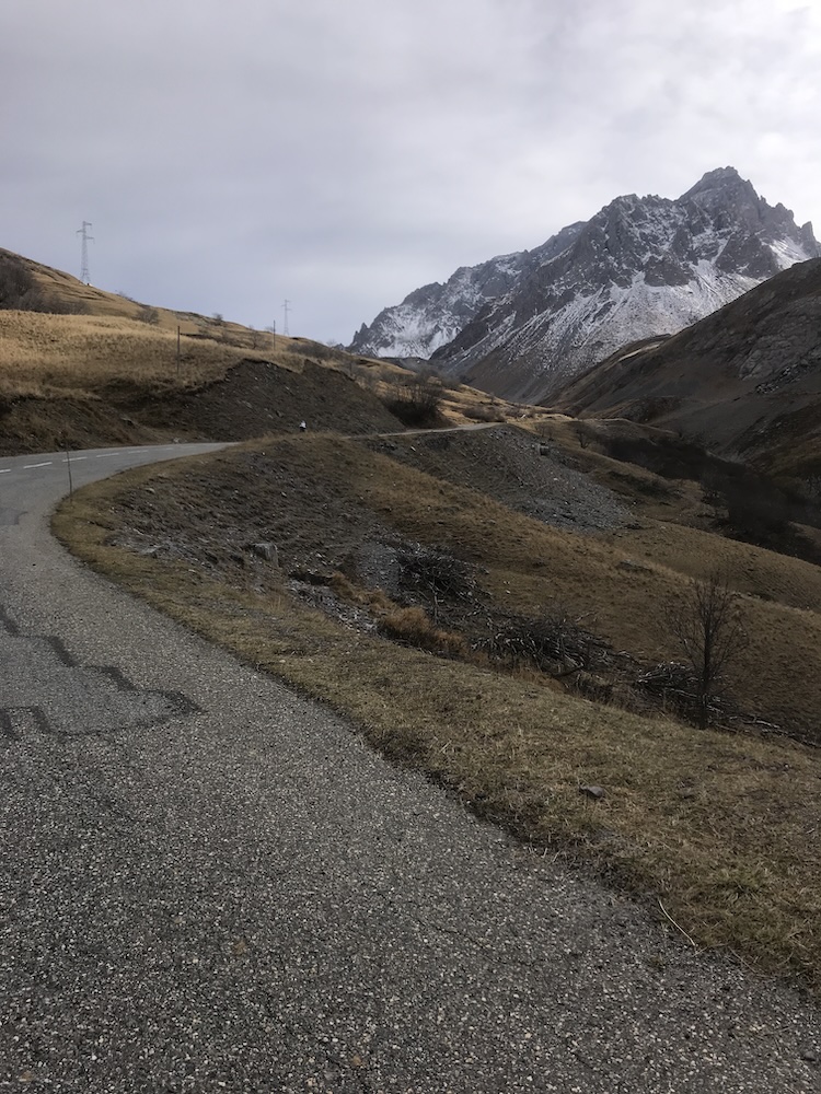
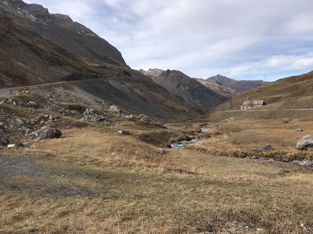
Plan Lachat is a key spot: gaps often open here, without any obvious attack—just altitude doing its job. From this point, the gradient sits for a long time between 8 and 10%… in high mountains.
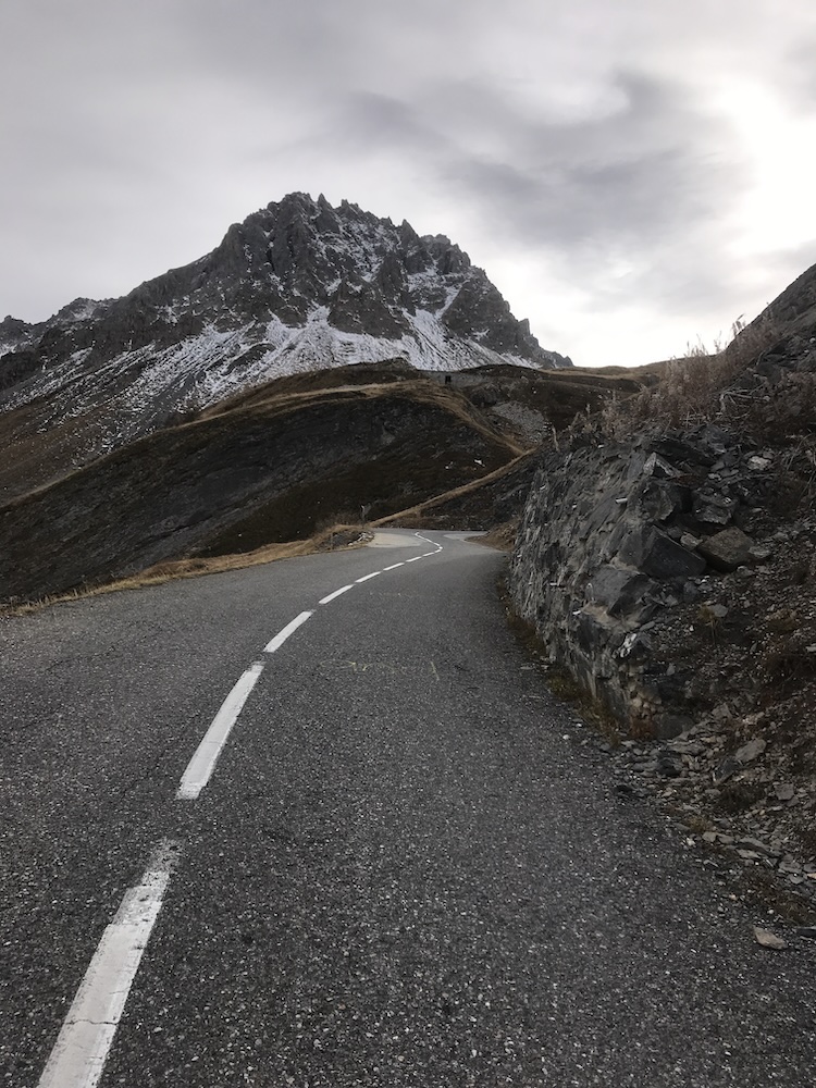
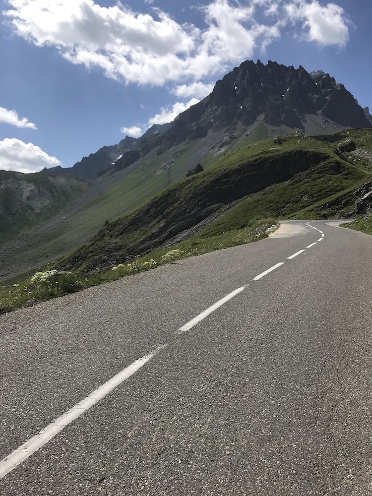
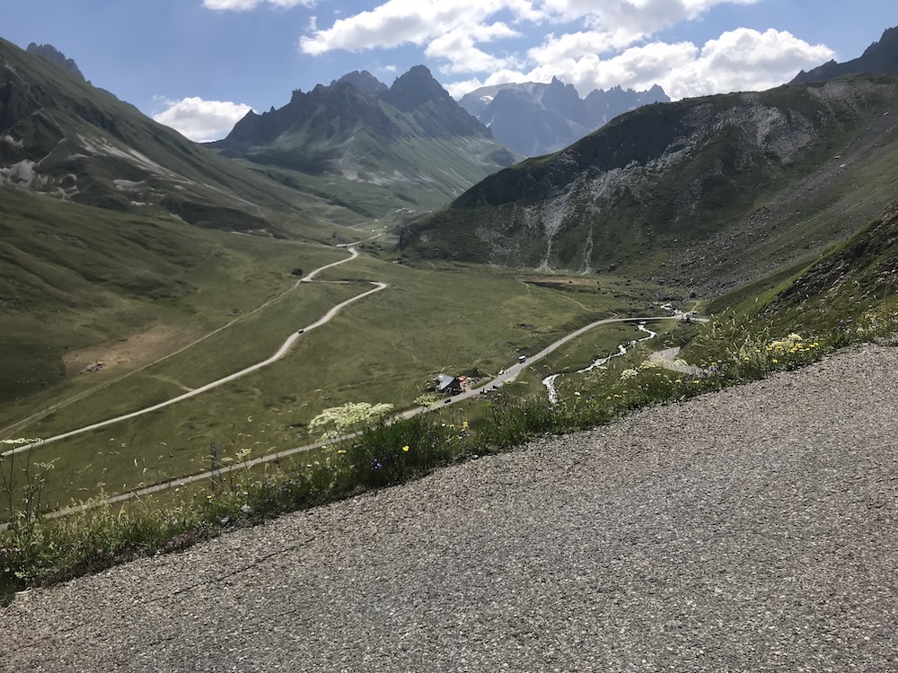
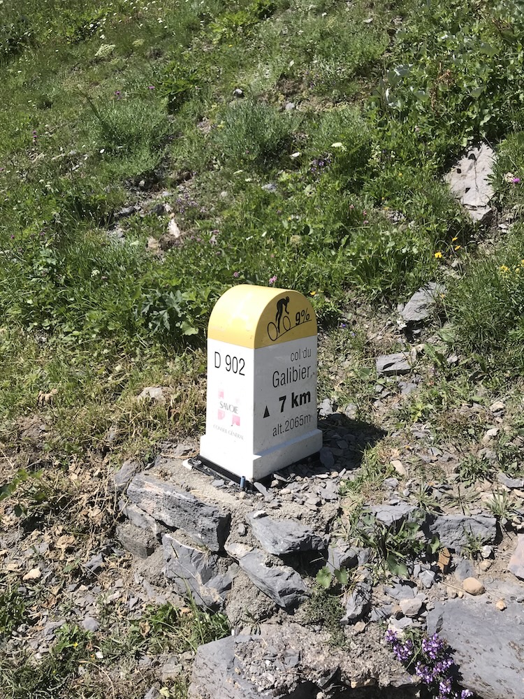
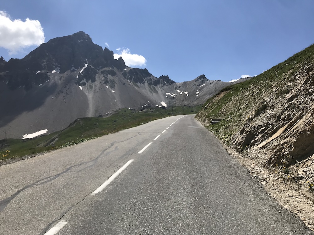
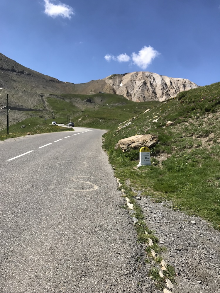
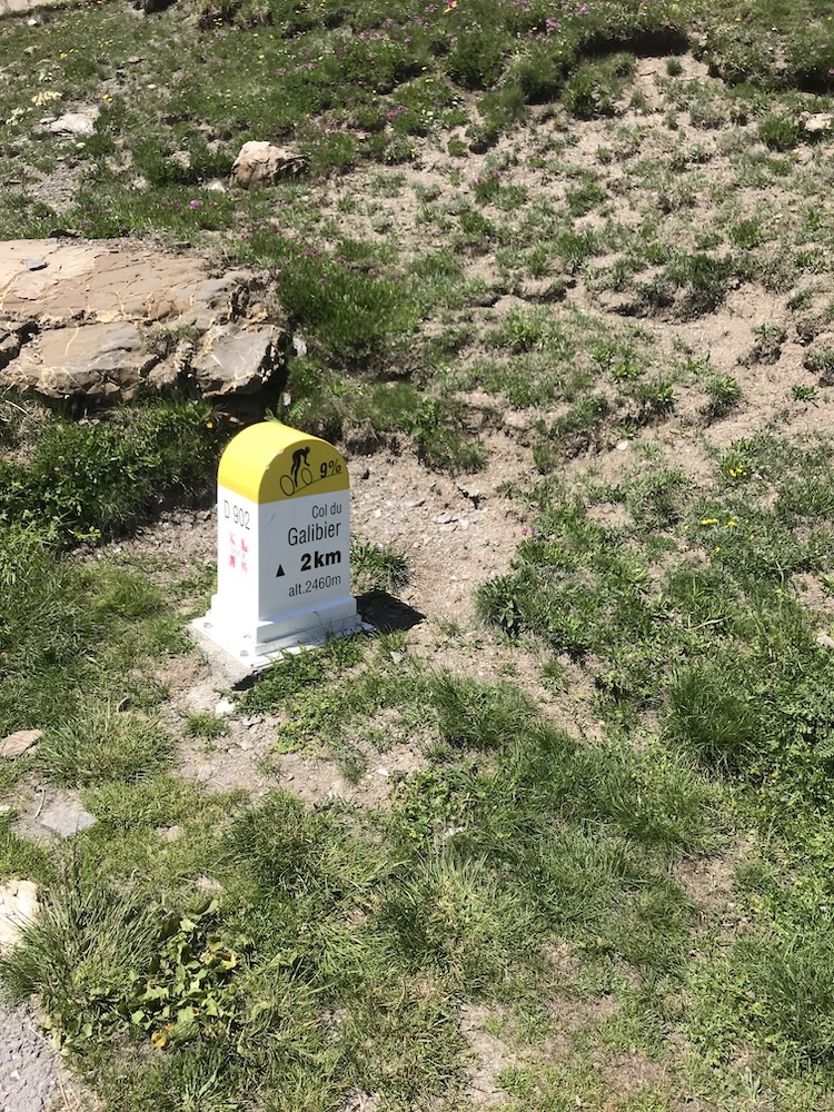
The final kilometer is often even harder and can show 10%. It’s “framed” by the tunnel, about 100 m below the pass itself (1 km at 10% = 100 m of climbing). The tunnel helps keep road access open a bit longer during the summer season (late May → late October). Only the Iseran usually stays closed longer. In early July, snow banks can still be there—it varies a lot year to year, and it adds to the Galibier mystique.
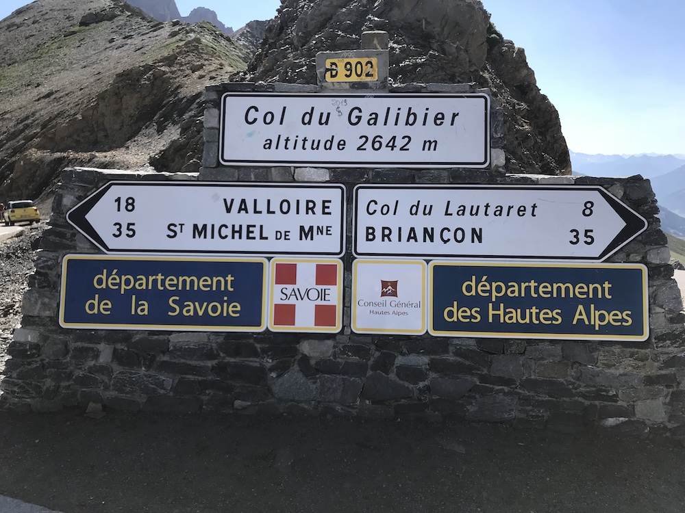
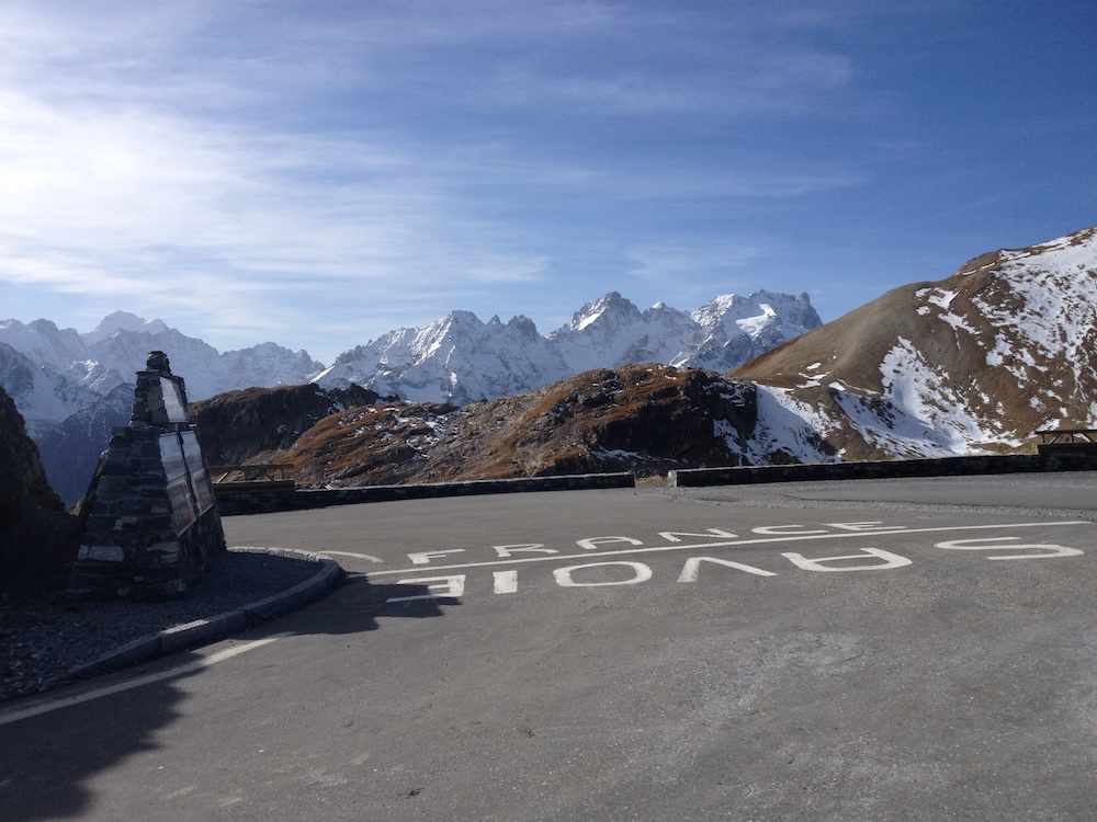
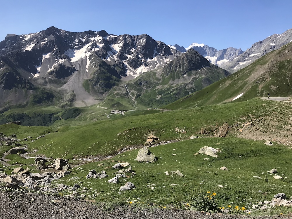
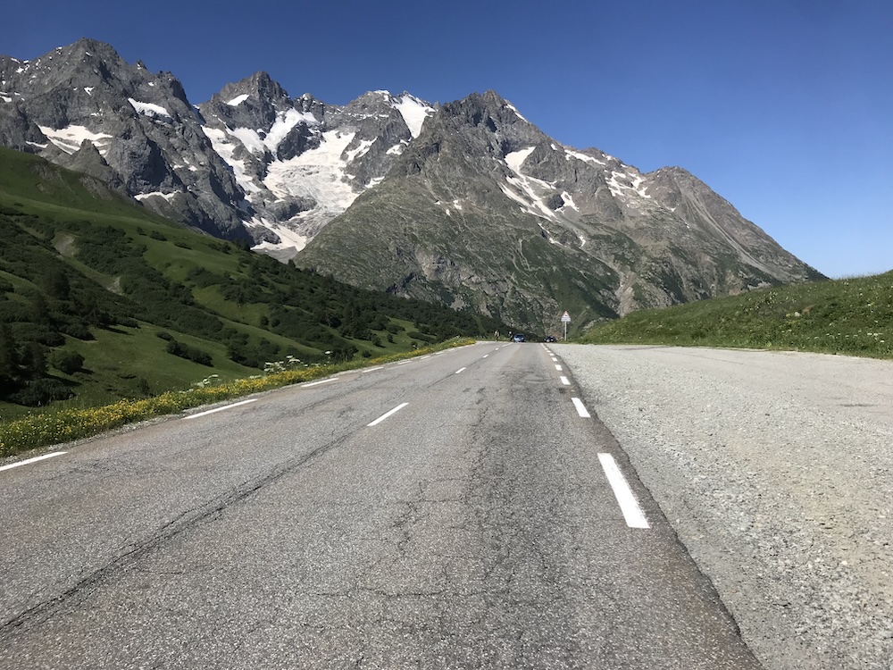
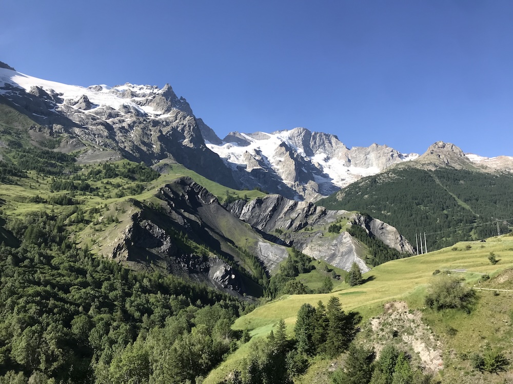
Altimetry reference: from Galibier it’s one long continuous descent, with no real uphill, dropping from 2642 m to 1043 m. At the Chambon dam, turn right to start the Col de Sarenne.
4) Col de Sarenne: the final judge before Alpe d’Huez
Col de Sarenne comes at a very specific moment of the day. Legs are heavy, altitude has left its mark, and yet you still have to climb to 1999 m. For the third time, you’ll put your nose above 2000 m.
The lower part is steep and irregular. As you reach Mizoën, the gradient becomes more consistent all the way to the top. Up to around 1600 m, you follow the Ferrand river through the woods. Then the mountains open up completely: the final ~400 m of climbing, fully exposed, deliver a stunning view of the Écrins, Roche de la Muzelle and the Girose glacier. Beautiful… and demanding.
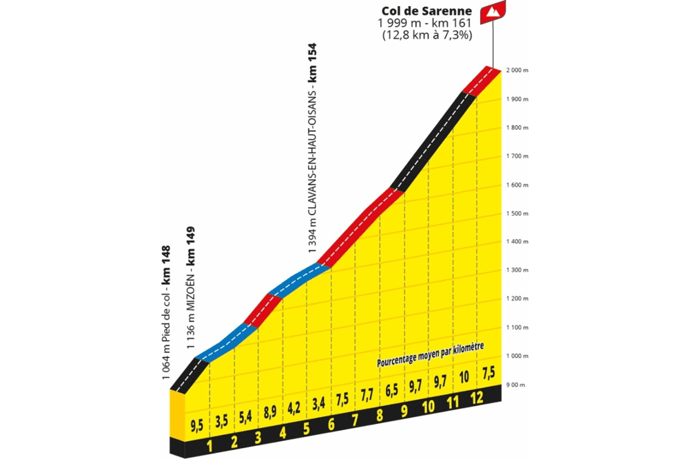
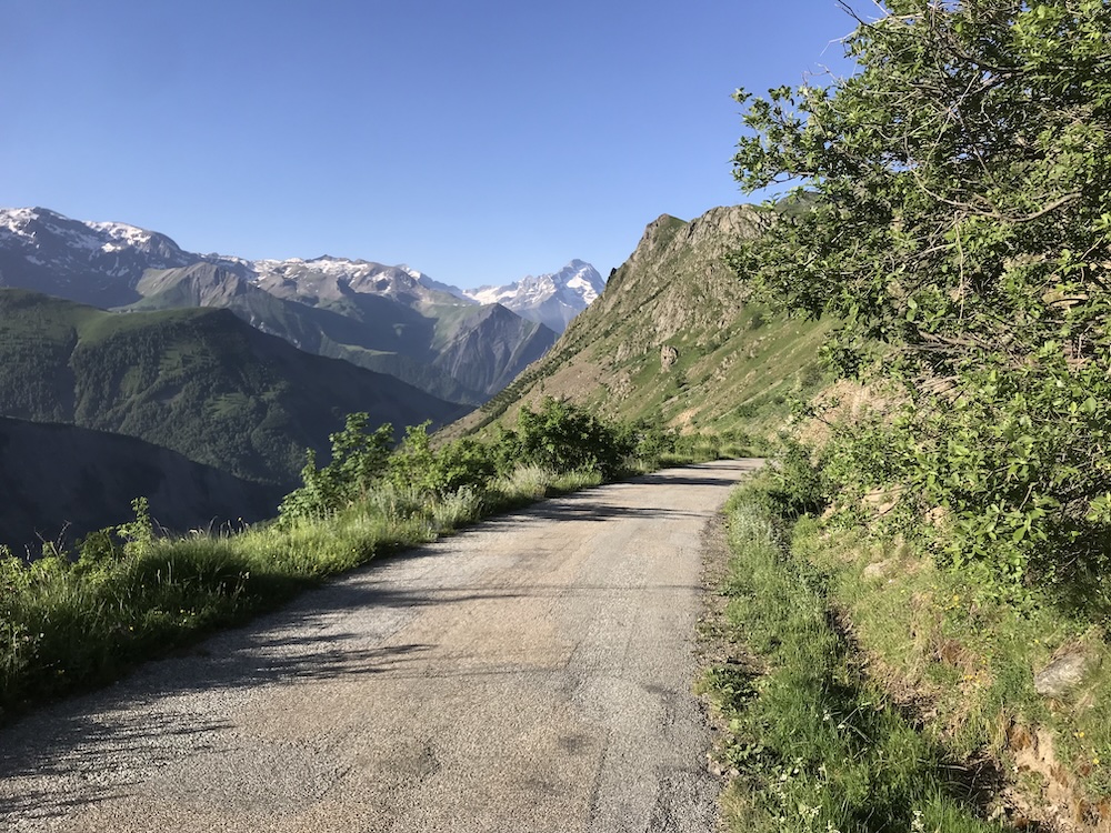
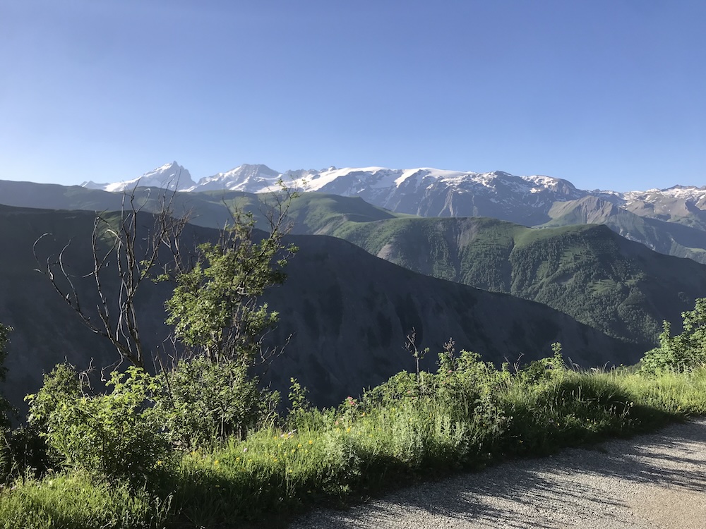
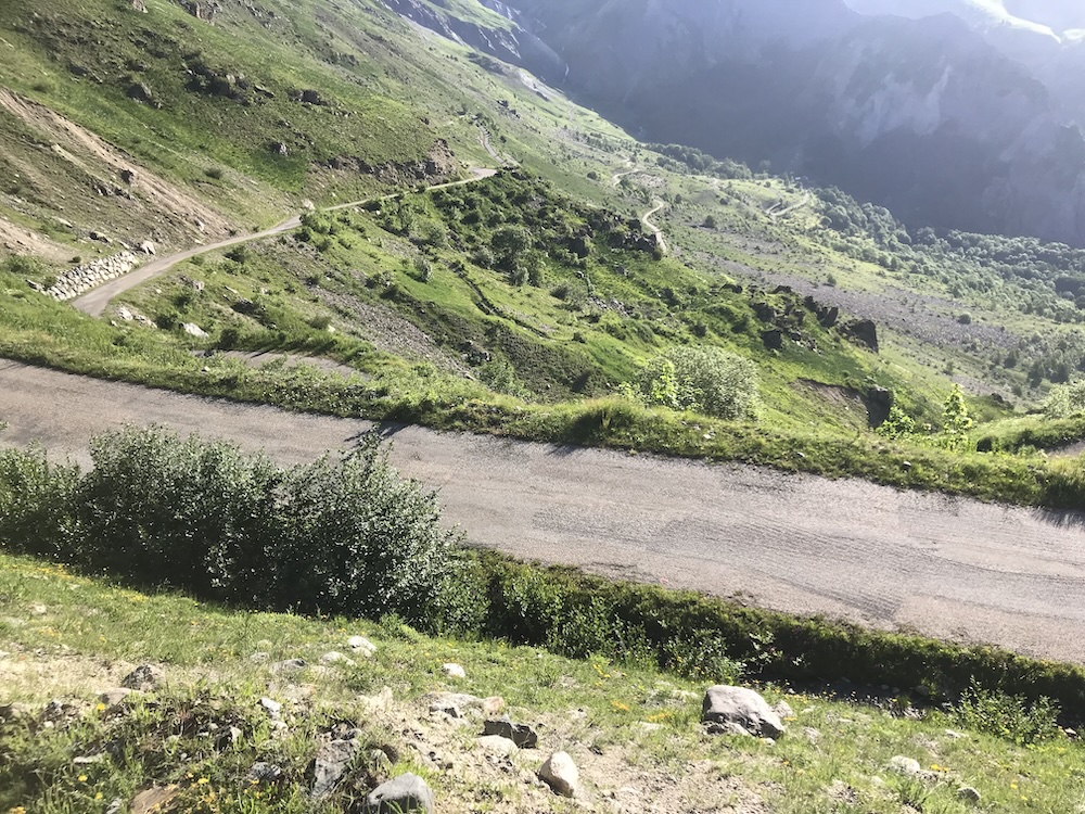

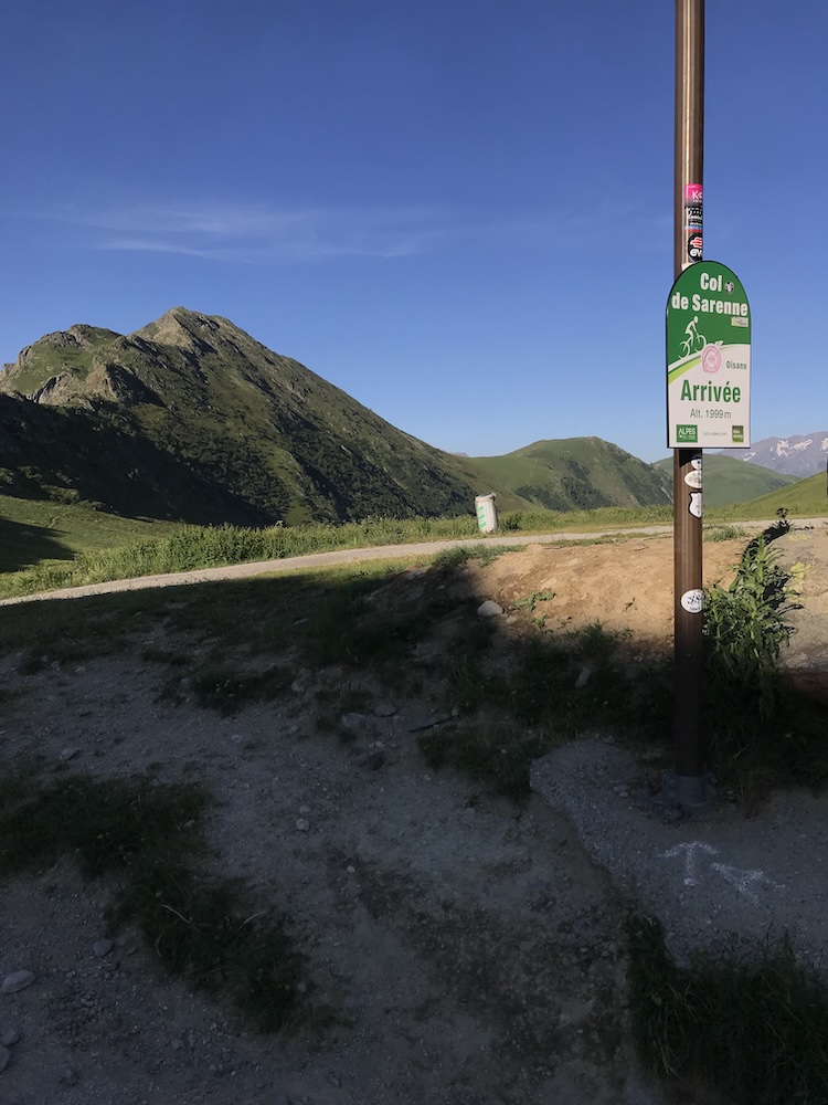
The sign at Col de Sarenne is a real turning point. There’s still a descent, and then one last rise up to 1871 m: the final effort. The one you may not have fully anticipated… but you’ll have to go get it with whatever is left.
Then comes a straighter descent through gorges, mountain sides and high valleys of the Alpe d’Huez area. You drop to 1763 m, and you finish with a last climb to 1871 m: that’s the final push.